Circa 1845
The family that built Victorian Brockley
By Brockley Society
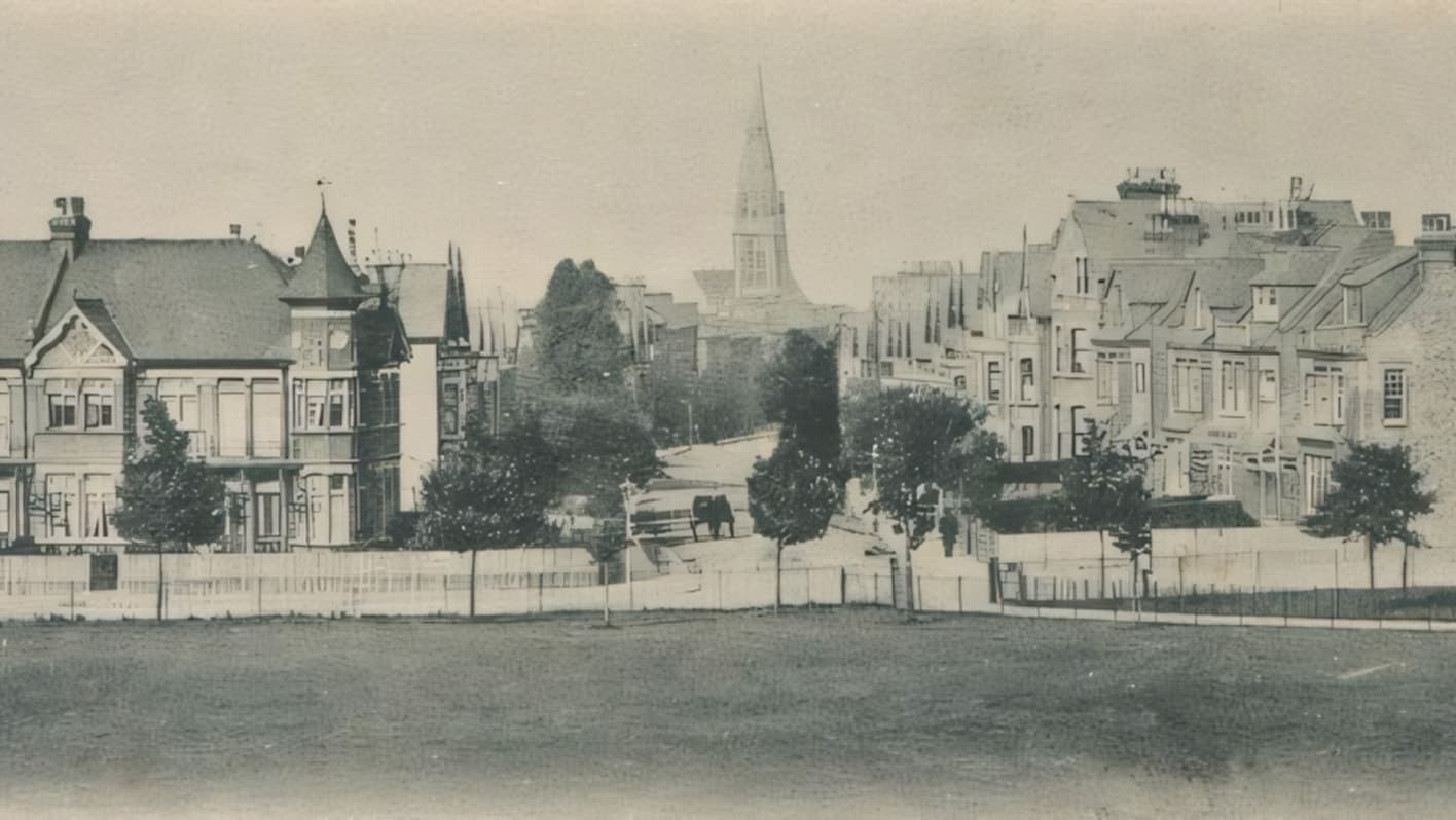
Tyrwhitt Road, laid out by the Tyrwhitt-Drake family, seen from Hilly Fields
Two Brockley streets, Tyrwhitt Road and Drake Road, carry the name of the family that turned the area from farmland into a suburb.[1] From the 1840s the Tyrwhitt-Drakes and the related Wickham family laid out the villas, terraces and tree-lined roads that still shape north Brockley.
Before the suburb
The land that became Upper Brockley came into the Drake family's hands in the seventeenth century.[2] Until the early nineteenth century it stayed rural, worked as farms, nurseries, orchards and market gardens that supplied London.[3]
Two families held the estates: the Tyrwhitt-Drakes and the Wickhams, linked by marriage and inheritance, which let them plan the ground together.[4] Between 1844 and 1885 the land was developed as two estates, the Wickham-Drake and the Tyrwhitt-Drake.[2]
Building the streets
Development began south of Lewisham Way in the late 1840s, with the modest cottages at 2–22 Upper Brockley Road, and spread south and east towards Hilly Fields.[1] By 1851 Upper Brockley had been laid out with wide streets and large Italianate villas, each backed by a mews lane for the servants, horses and carriages of the households.[4]
Progress was slow. The first two houses in Wickham Road went up in 1851, but only seven stood by 1859, the year building started in Tyrwhitt Road.[2] Breakspears Road and Tressillian Road followed in 1868, and work continued into the early 1880s.[2]
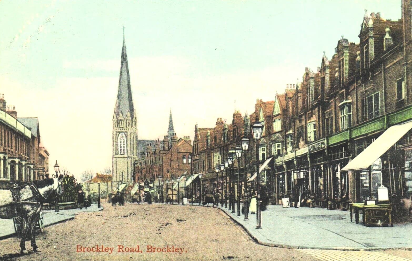
The styles changed as the decades passed. The earlier houses were Italianate, with stucco, classical columns and decorated window surrounds; from the late 1860s Gothic details crept in, and through the 1870s the two styles were often combined in the same house.[2]
Who lived there
The houses were built for the professional classes, and many of the grandest were taken by the owners and managers of factories in nearby Deptford and Bermondsey.[3][1] Charles Booth's survey of London around 1900 marked the residents of Wickham Road and Breakspears Road as "well-to-do" or "wealthy".[5] The actress Lillie Langtry lived on Wickham Road.[1]
The streets west of Brockley Road were more mixed, which Booth recorded as "comfortable and poor".[5] The artist and poet David Jones, whose father was a printer, grew up in Howson Road, and the writer Henry Williamson, son of a bank clerk, was born in nearby Braxfield Road.[1]
Finishing the map
The last road completed within what is now the conservation area was Chalsey Road, in 1900.[1] Even then the work was not finished: open farmland remained south of Brockley Grove and west of the railway into the early 1930s.[1]
The suburb the two families laid out survives largely intact. Brockley now holds one of inner London's best-preserved runs of Victorian housing, with examples of almost every style from the imposing Gothic villa to the plain workman's cottage.[1]
Sources
- 1.^
Brockley, Wikipedia — en.wikipedia.org/wiki/Brockley
- 2.^
Darrell Spurgeon, A History of Brockley – Part Two: Got to Love the Drake, Brockley Central, 24 February 2013 — brockleycentral.blogspot.com
- 3.^
Ideal Homes, History of Brockley, University of Greenwich — ideal-homes.gre.ac.uk
- 4.^
Brockley's Historic Mews, Open House Festival — programme.openhouse.org.uk
- 5.^
Charles Booth, Map Descriptive of London Poverty, 1898–1899 — LSE Charles Booth Archive