Circa 1086
The origins of Brockley
By Brockley
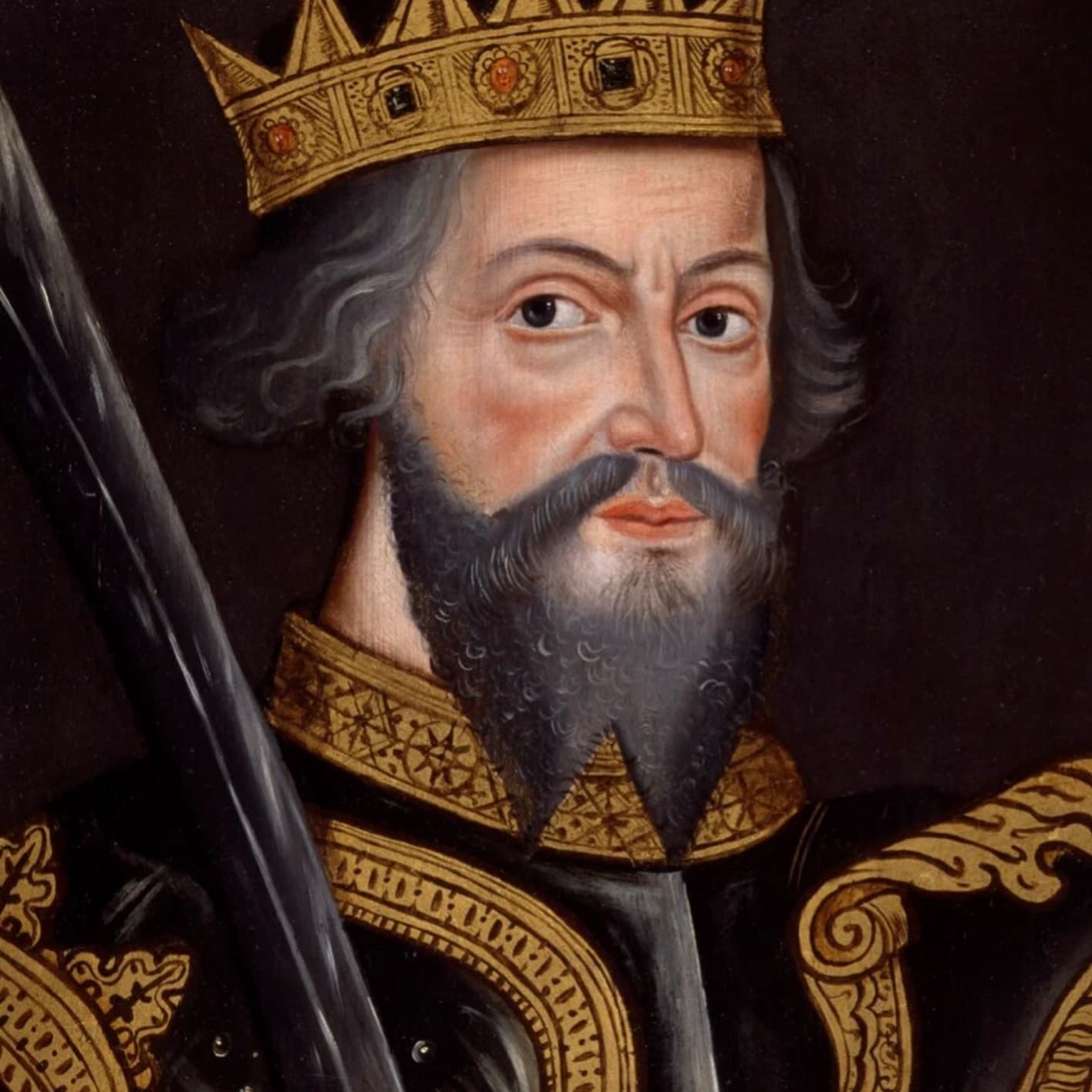
William the Conqueror ordered the Domesday survey at Christmas 1085; it was compiled in 1086
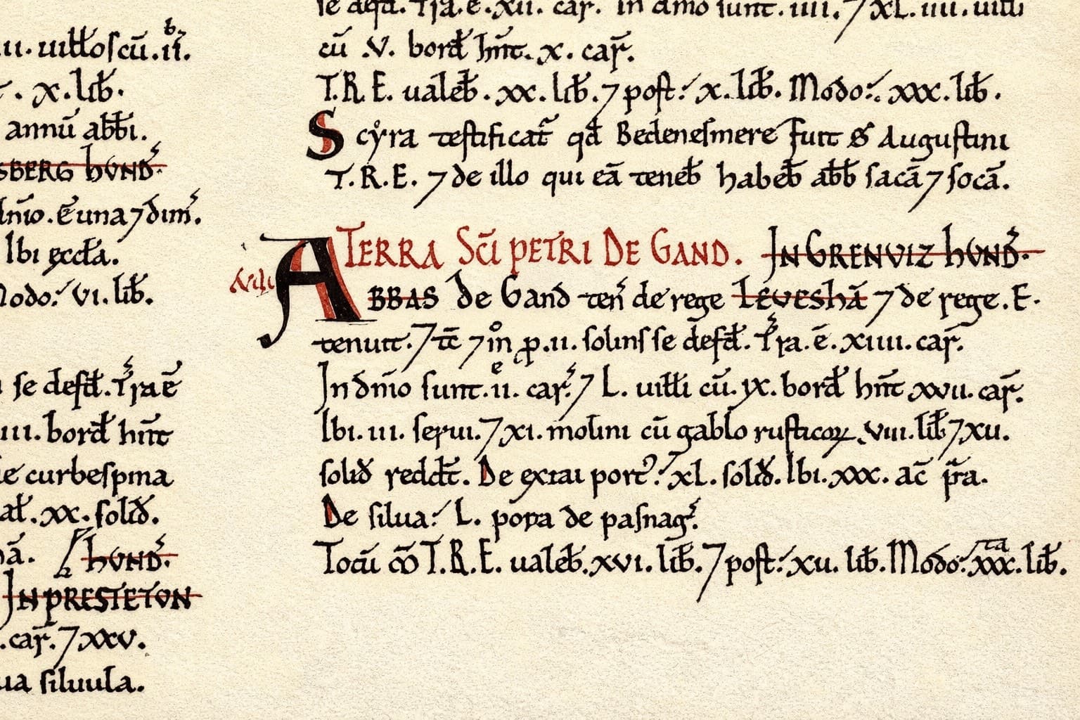
The earliest surviving written record relevant to the area is the Domesday entry for Lewisham in 1086, within whose manor the later district of Brockley developed. Domesday was a nationwide land and tax survey ordered by William I at Christmas 1085 and carried out in 1086, and it records Lewisham as Levesham in the hundred of Greenwich, Kent.[1] Brockley itself is not listed there as a separate settlement. A common confusion comes from similarly spelt Domesday entries elsewhere, including Brockley in Suffolk, but those do not refer to the London district and are not in the Greenwich hundred.[1][14]
The first clear references to this Brockley appear in later twelfth-century charter material, where forms including apud Brocele ("at Brockley") and sancte Marie de Brocele ("St Mary of Brockley") are recorded in connection with landholding and religious institutions linked to the Maminot–Turnham succession and the early Premonstratensian house in Brockley.[17][18] This evidence is usually placed approximately in the 1190s, based on charter context and related records rather than a clear date written in the text itself.[17][18] The spelling still indicates an Old English place-name, suggesting the name was in use before 1086 even though Domesday did not list Brockley separately.
Some twentieth-century local histories claim a date as early as 952.[2][5][10] No surviving documentary evidence supports a Brockley reference in that year. The best-known reference, "S 952", is a catalogue number for a charter dated 1018, not a document from the year 952.[8][9] It remains unclear exactly when or where the 952 claim first entered local writing.
What the name means
Most interpretations start with Old English lēah, meaning a woodland clearing or meadow.[6][7] The debate is over the first part of the name.
One reading is Broca's lēah: a clearing linked to a person called Broca.[6][7] Another connects the name to brōc, meaning a brook or stream.[3] A third, less widely supported for this Brockley, links it to broc, meaning badger.
Local topography supports the water-based explanation. In 1993, Gill Heywood described the shallow valley that now carries Brockley Road and the Croydon railway line, and argued that it was once marshy meadowland fed by surrounding slopes. She also traced a stream line running north through the Malpas Road area, under Lewisham Way, and towards Deptford Creek.[3]
Even with different linguistic readings, the broad picture is consistent: the name describes a low clearing in wet, wooded ground.
The early settlement
Local historians place the early settlement around the historical site-name "Brockley Green", now in Crofton Park, though this rests mainly on later antiquarian reconstruction rather than contemporary documentary proof.[2] The site sat on an old route between Deptford and Sydenham.
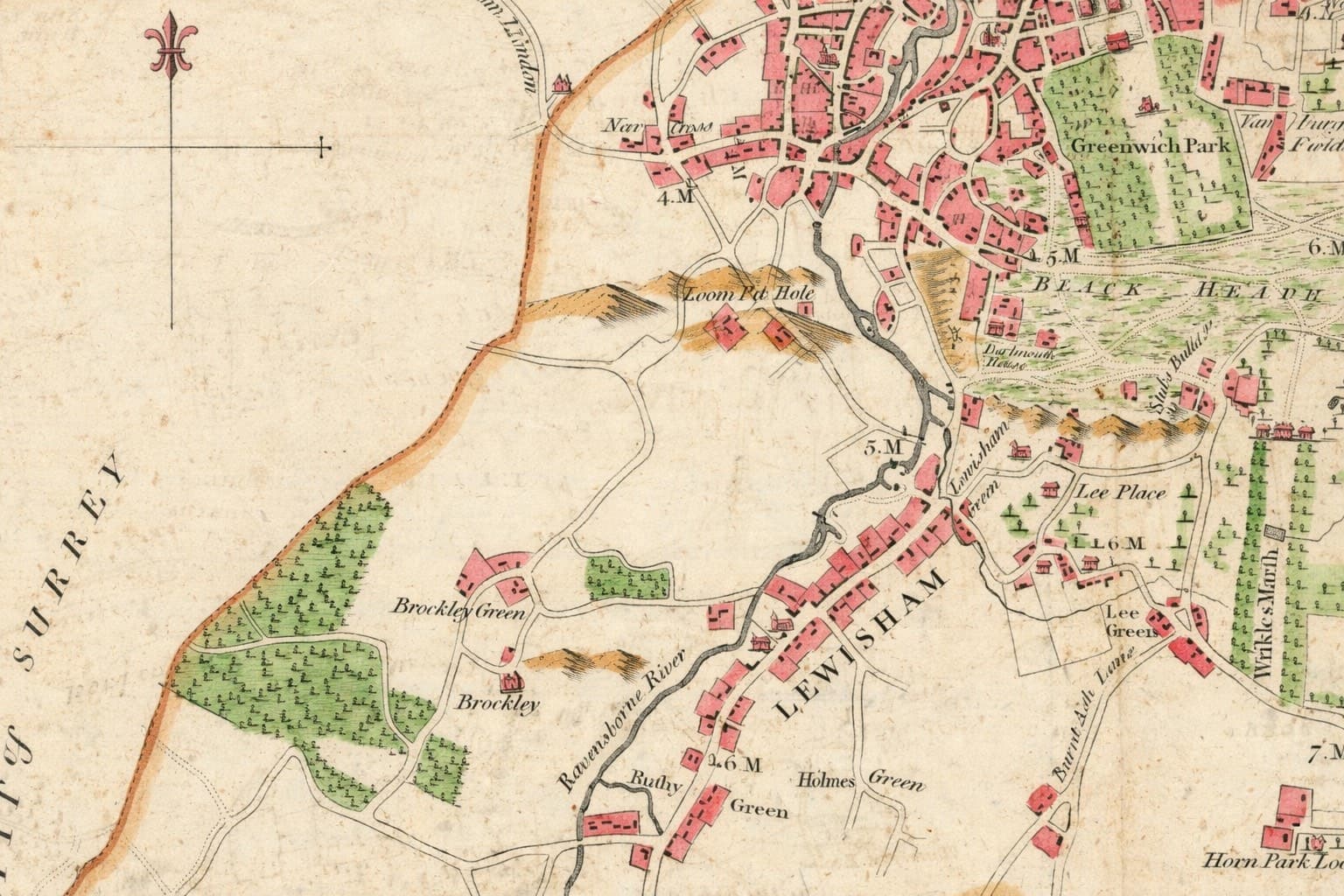
Using later maps and field evidence, antiquarian writers traced that route along what are now New King Street, Deptford High Street and Tanners Hill, then towards present-day Upper Brockley Road.[2] In those historical sources, this section appears as Brockley Lane.[2] Hasted's late eighteenth-century map of the hundred of Blackheath provides broader administrative context, including Lewisham within the hundred, but does not itself apply the Brockley Lane label.[19] From there the route continued by way of Brockley Cross, Coulgate Street and Brockley Road to the Green.
At Brockley Green stood the earlier Brockley Jack inn and Brockley Farm, with its pond. For centuries, the surrounding landscape remained mostly agricultural.
The Premonstratensian period
Near the end of Henry II's reign, the manor of Brockley was granted by Wakelin Maminot to his heir, Michael de Turnham.[4] After passing through those families, land in Brockley was granted to the Premonstratensian order in the later twelfth century.
The Premonstratensians, often called the White Canons, originated at Prémontré in northern France and had a house at Otham by about 1180.[15] They established a small religious house in Brockley before moving the community to Bayham.
That phase was brief. Between about 1199 and 1208, the monks relocated to Bayham Abbey near Tunbridge Wells.[11][12] Bayham was later suppressed in 1525 under Cardinal Wolsey, before Henry VIII's wider dissolutions.[4][16]
No visible remains of the Brockley house survive. Reports of excavations at Manor Farm around 1860 describe foundations of a small monastic structure, together with coins and fragments of tile and glass, but the evidence is largely antiquarian and has not been confirmed by a published modern excavation.[2][11][12] The Heritage Gateway summary also notes coin evidence from Edward IV and later, which may indicate that the excavated building was fifteenth-century rather than a surviving twelfth-century monastic structure.[11]
From rural manor to suburb
For many centuries after Domesday, Brockley remained largely rural. The woodland around it formed part of the Great North Wood, which stretched broadly between Deptford and Selhurst.[5] The wood is recorded in assize material from 1272 and later supplied timber, fuel and tanning bark to settlements along the Thames, including Deptford's dockyards and Bermondsey's leather works.[13]
Farms, nurseries and market gardens supplied London. Local growers became known for Victoria rhubarb.
The pace of change increased in the nineteenth century. The Croydon Canal opened in 1809 and closed in 1836, followed by the London and Croydon Railway in 1839.[2] Stations opened at Brockley in 1871 and Crofton Park in 1892, and the Tyrwhitt-Drake family drove housing development across the northern part of the district.
By the end of the century, land that had once been part of the rural manor of Lewisham had become a built suburb. The name endured, carrying Old English place-name elements into modern south-east London.
Sources
- 1.^
Domesday Book, 1086, Kent folios, entry for Lewisham manor (Levesham) in the hundred of Greenwich — Source page
- 2.^
Spurgeon, Darrell, A History of Brockley, serialised on Brockley Central, 2013 — Source archive
- 3.^
Heywood, Gill, "History of Brockley", Brockley Society Newsletter No. 57, 1993 — Source archive
- 4.^
R. W. Elkin, "Monks at Brockley", Kentish Mercury, 12 May 1961 — Source archive
- 5.^
Brockley Society Newsletter No. 146, 2016 — Source archive
- 6.^
Mills, A. D., A Dictionary of London Place Names, Oxford University Press, 2010 — Source archive
- 7.^
Ekwall, Eilert, The Concise Oxford Dictionary of English Place Names, 4th edition, Oxford University Press, 1960 — Source page
- 8.^
Electronic Sawyer, catalogue of Anglo-Saxon charters — Source archive
- 9.^
Electronic Sawyer, entry S 952 (a charter dated 1018, not the year 952) — Source archive
- 10.^
Brockley Society, Open House Booklet, 2020 — Source page
- 11.^
Heritage Gateway, Brockley Abbey entry including 1860 excavation details — Source archive
- 12.^
Premonstratensian Abbeys UK, Brockley Abbey — Source archive
- 13.^
Southwark Council, Nunhead Cemetery Conservation Management Plan, citing 1272 assize record — Source page
- 14.^
Open Domesday, hundred of Greenwich (showing listed places in the hundred, including Lewisham but not Brockley); and Open Domesday, Brockley in Suffolk — Source page
- 15.^
"Otham Abbey", Wikipedia — Source page
- 16.^
"History of Bayham Abbey", English Heritage — Source page
- 17.^
Wallenberg, Johannes Knut, The Place-Names of Kent, Uppsala, Appelbergs Boktryckeriaktiebolag, 1934 — Source archive
- 18.^
Registrum Roffense (Thorpe edition, 1769), charter material including forms "apud Brocele" and "sancte Marie de Brocele" — Source page
- 19.^
Hasted, Edward, "The hundred of Blackheath: Introduction and map", The History and Topographical Survey of the County of Kent: Volume 1 (1797), including map detail published in 1778 — Source page
- 20.^
Brockley Road, oil on canvas, 1838, unknown artist, Lewisham Heritage collection, catalogued on Art UK — Source page